
Mapping and Directions
The development of children's mapping and direction skills this term is identified below. This is where they read and follow maps, create their own maps and gradually build their ability to make use of map features becoming more sophisticated as they progress through the school.
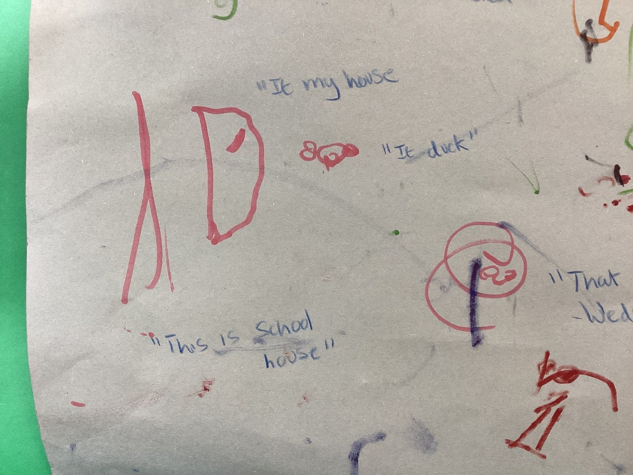
Making Maps in Nursery
This picture shows how nursery have made their own maps of places that are relevant to them and their lives. Children were encouraged to talk about their local area and teachers annotated what the children told them as well as extending and adding new vocabulary.

Human and Physical Features in Year 2
This picture shows how the Year 2 children learnt how to identify human and physical features on a rural and urban map, understanding that it is a 2d representation of the 3d world.

Standard OS Map Symbols in Year 3
This picture shows how the Year 3 children have become familiar with standard OS map symbols and used them to identify features in the local area as part of their settlement topic. They have understood that a symbol is easier to interpret than writing all over the map.

Interpreting Maps in Year 6
This pictures shows how the Year 6 children have understood how interpreting a map can help them navigate around a mountainous rural environment. This includes the use of contour lines to indicate steeper land.